
InfoTech provides complete Geo Spatial solutions to its various customers around the globe. The various GIS services catered by InfoTech help domestic and international clients and governing bodies to have a cutting edge in the market. Our geo spatial services include remote sensing as well as underfloor heating and cooling drafting services.
We offer full range of products and GIS services as far as data management, application development and consulting is concerned. This in- turn helps our clients in successfully planning, implementing and supporting GIS technology and data at their end. We have a unique blend of highly specialized GIS professionals that have extensive experience in the deployment of Geo Spatial Technology due to their diverse experience areas within GIS industry and community.
Utility mapping deals with mapping the network of electrical, water, gas, sewage & telecom facilities. It includes services, such as system modeling, land base creation, raster to vector map conversion, work order updates, and circuit map creation, executed with top-grade software applications like AutoCAD and MicroStation. Utilizing multiple sources such as satellite pictures, aerial photographs, existing maps, and GPS field data, we expertly generate the GIS database.
LiDAR is a surveying method that measures the distance to a target by illuminating that target with laser light. We at, InfoTech, combine LiDAR with GIS data and other survey information to generate complex geomorphic structure mapping products, advanced 3D models/earthwork profiles, rendering of structures, and many additional high-value mapping products. We offer post-processing of LiDAR point cloud data include Bare earth, utility, topographic and land use classification. We seamlessly integrate LiDAR data with other data sets, including Orthophoto imagery. We are providing LiDAR services to numerous customers globally for almost ten years now. InfoTech provides very cost-effectively and qualitative services which uplift customers from their competitors. We seamless integrate LiDAR data with other data sets, including orthophotos imagery.
Fast and cost-effective LiDAR map outsourcing tailored to your budget and needs!
InfoTech Enterprises ranked among top LiDAR Mapping Companies in India for outsourcing services. Fast and cost-effective LiDAR map outsourcing tailored to your budget and needs. InfoTech outsourced mapping services include mapping from Light Detection and Ranging (LiDAR) survey data. We integrated both ground and aerial LiDAR data. Aerial data gathered uses laser reflection from the earth's surface captured by sensors in an aircraft. This technique allows the location of objects and precise elevation to be determined on different scales, making aerial LiDAR an appropriate approach for creating accurate topographical maps.
InfoTech outsourced mapping services include mapping from Light Detection and Ranging (LiDAR) survey data. Both ground and aerial LiDAR data can be integrated. Aerial data gathered in this way uses laser reflection from the earth's surface captured by sensors in an aircraft. This allows the precise elevation and location of objects to be determined on different scales, making aerial LiDAR an effective approach for creating accurate topographical maps.
Photogrammetry is a process to obtain reliable information and measurements of physical objects from photographs and use them for the development of maps, drawings, or 3D models of terrains.
Aerial images require pre-and post-processing using Photogrammetry before they can be used to extract valuable geo-data. Our advanced photogrammetry division enables us to capture data from small to large scale stereo models and generate digital topographic maps of high precision.
We acquire landscape for Land management and land planning along with an accurate means of monitoring change over time and provide vital information to any person responsible for land management. Land use and land cover mapping is a process that quantifies current land resources into a series of thematic categories of natural land cover and planned utilization of land.
InfoTech understands that changes in land use and land cover are regular, rapid, and so can have significant impacts for people, the economy, and the environment. Among the organizations that will benefit from the information derived from land cover solutions are:
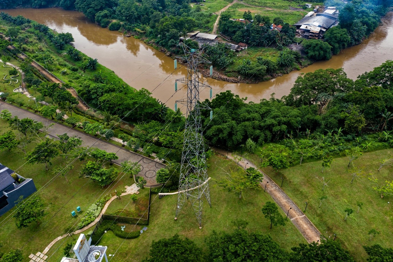
In today’s world, precise mapping and classification of powerline infrastructure are crucial for managing and maintaining electrical distribution networks. Our GIS-based Powerline Classification solutions empower utility companies and powerline operators with accurate, data-driven insights to improve safety, reliability, and efficiency.

At InfoTech, we leverage GIS technology to streamline powerline classification, offering customized solutions tailored to meet the unique challenges of powerline management. Our tools help utility providers stay ahead of potential risks while optimizing operational efficiency.